Talbot Forest Reserve Walks
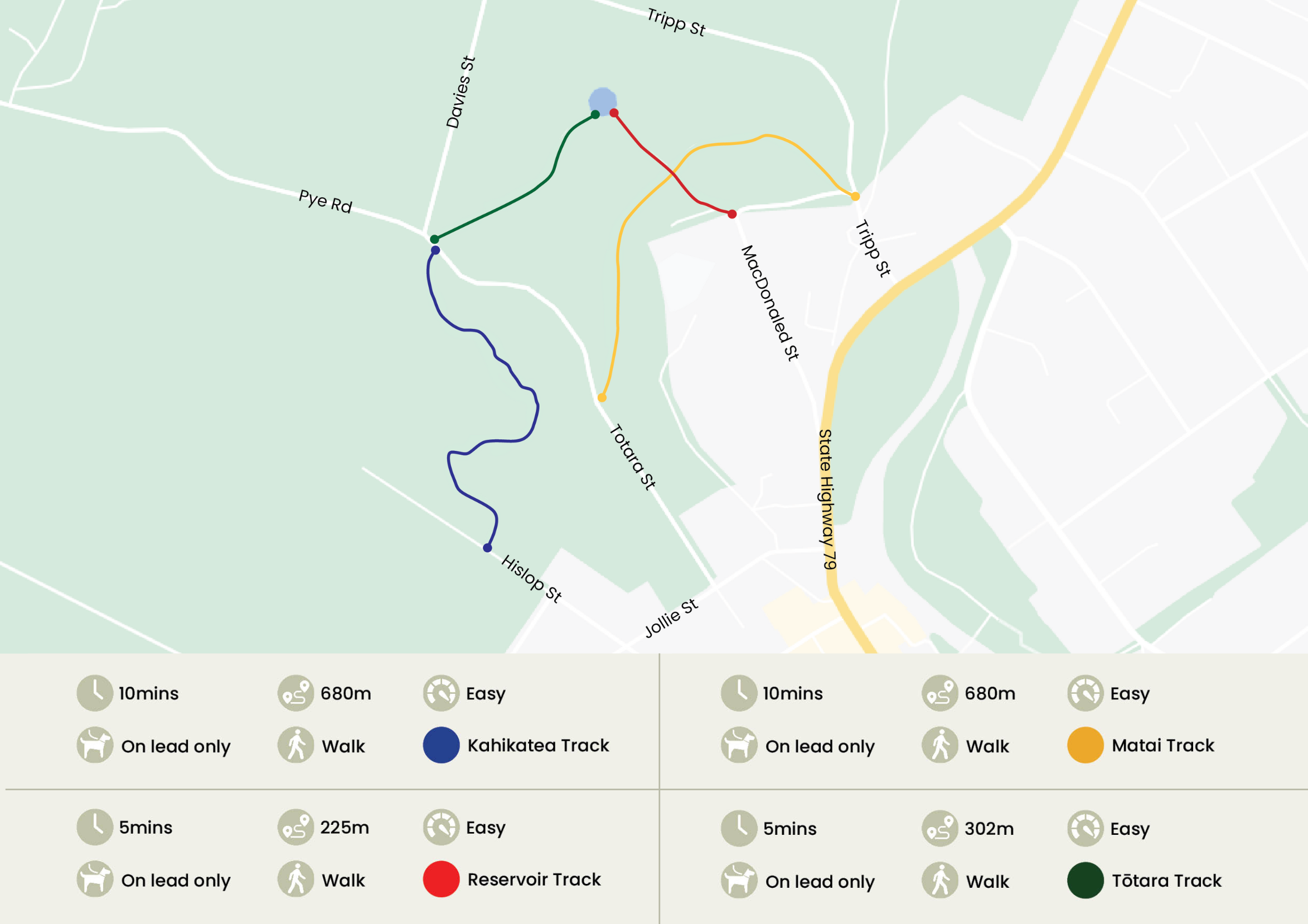
Track Description
Talbot Forest Scenic Reserve is the last remnant of an extensive forest that once covered the Geraldine area. The first reserve was created in 1879 and was added to in 1886 and 1962. There are four short walks through the forest which interconnect with roads around the reserve.
Kahikatea Track
This track connects Hislop Street with Totara Street picnic area. There are some fine kaikahikatea trees at the Hislop Street end where the land is wetter. Kaikahikatea can grow to be the tallest tree in the forest, reaching 40 metres.
Matai Track
This track connects Tripp Street with Totara Street. The track passes some impressive forest trees including mataï with its needle leaves and ‘hammered’ bark.
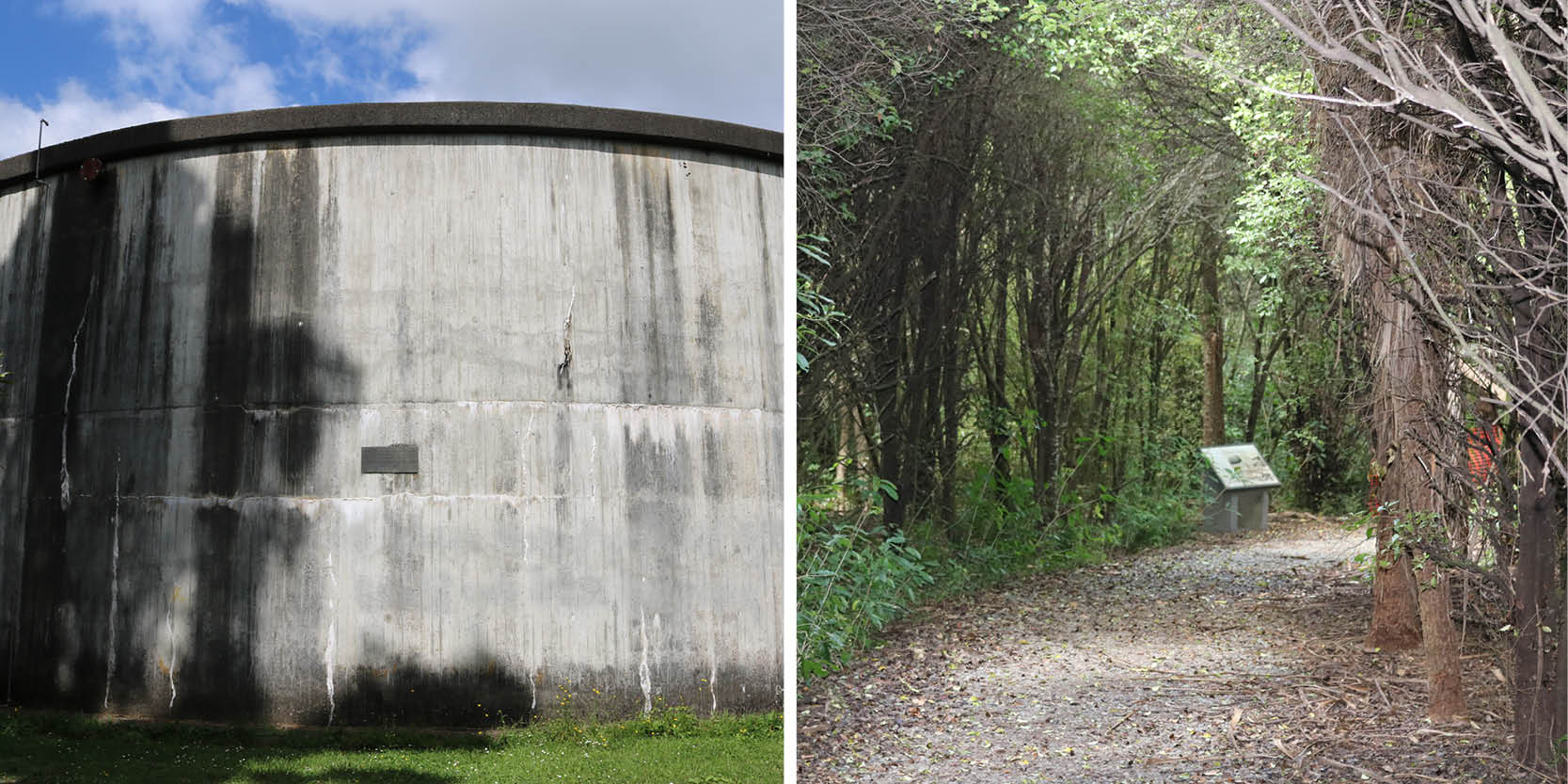
Reservoir Track
This track connects Tripp Street picnic area with Bridge Street. The picnic area is a good starting point from which to explore the reserve. The iron gates on Bridge Street mark the old main entrance into the reserve.
Tōtara Track
This track connects Tōtara Street with Tripp Street picnic area. Next to the track is the largest tōtara in the reserve which is estimated to be 800 years old. Tōtara were used by Māori to build canoes. A large tree could be made into a waka taua (war canoe) capable of holding 100 warriors.